|
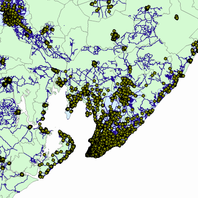
Width: 400 Height: 400 Extent:
YMin: 8536135.373919725 XMax: 617264.6646140914 YMax: 8655073.867547909 Spatial Reference: 32724 (32724) LatestVCSWkid(0) Scale: 1123826.0385939735 |
| ArcGIS REST Services Directory | Login |
| Home > services > PESQUISA > IdentificarGEOPOLIS24 (MapServer) > export | API Reference |
|
|
Width: 400 Height: 400 Extent:
YMin: 8536135.373919725 XMax: 617264.6646140914 YMax: 8655073.867547909 Spatial Reference: 32724 (32724) LatestVCSWkid(0) Scale: 1123826.0385939735 |